
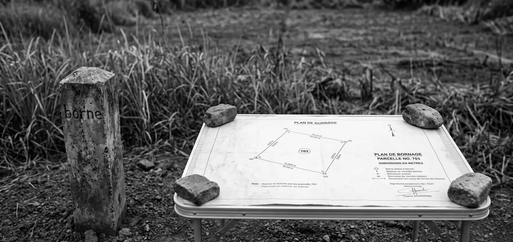
What a boundary survey does
Surveying a parcel means bringing in a licensed surveyor who measures it, plants boundary markers (numbered concrete markers B1, B2, B3…) at each corner, and draws up a survey report together with a plan. The whole thing is stamped by the cadastral service.
Without a survey, the limits of a parcel are vague. That is the leading cause of conflict between neighbours: everyone has “their idea” of where the line runs, and nobody has proof.
Reading a survey plan
A serious survey plan always contains:
- the official letterhead (Ministry of State Property, Surveys and Land Tenure);
- the number of the original land title;
- the surface area actually measured, often different from the “announced” area;
- the boundary markers (B1 to Bn) and the distances between them;
- the easements: strips of land you cannot build on (right of way, road, utilities) — 4 m, 6 m, 8 m depending on the case;
- the surveyor’s name, licence number and the date;
- the cadastral stamp (stamp + date). Without that stamp the plan is worthless.
Announced area ≠ surveyed area
A seller may say “500 m²” in good faith, because that is what he was told. The survey gives the real area. It may be smaller: part of it is taken by an easement, or a neighbour has encroached. You pay for the surveyed area, not the announced one.
To check before buying
- The survey plan is stamped by the cadastral service, with a recent date.
- The markers are there on the ground — go and see them, one by one, during the visit.
- The area on the plan matches what is being sold to you.
- The easements are shown, and you know what you will be able to build.
What SCI Miniature does Every parcel is surveyed by a licensed surveyor, the plan is handed over with the file, and the visit includes walking the markers. The surface shown is the surveyed one, not an estimate.